Barbados Island
$10.95 USD
ISBN: 978-1-988818-22-1
Language: English
Authors: Ian Popple, Otto Wagner, Peter McDougall
Dimensions: 5.5 inches x 8.5 inches
Description: Waterproof cards printed on plastic or laminated synthetic paper
Shipping: Shipped from our distribution center within seven business days. Shipping time depends on location.
Card overview:
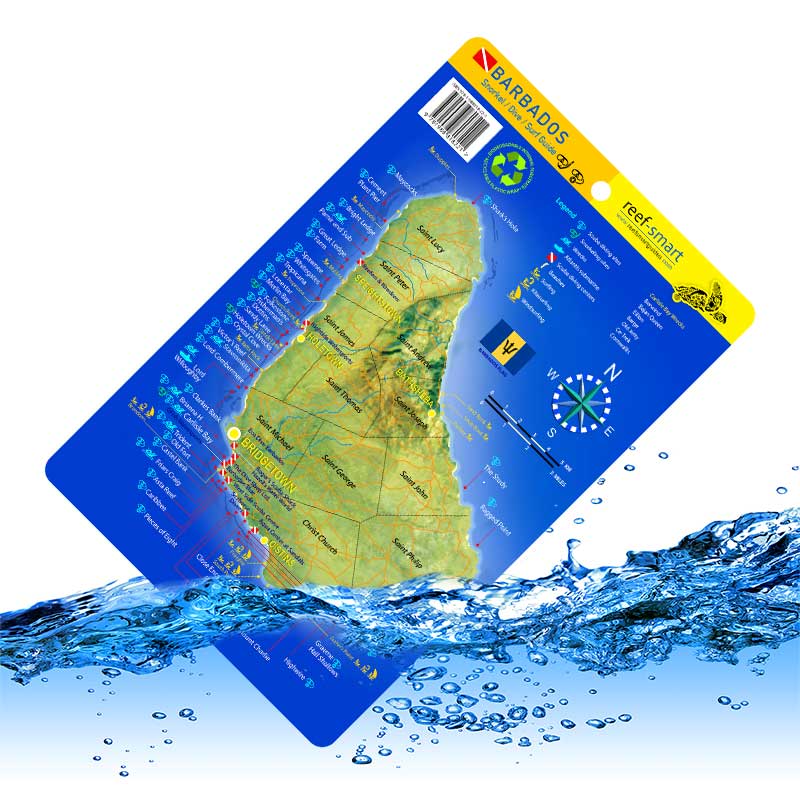
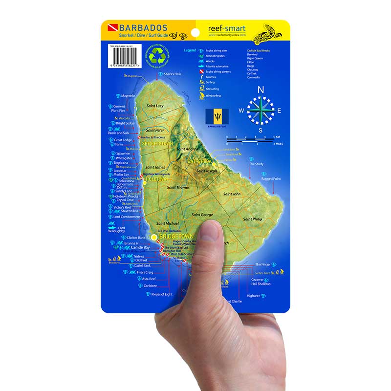
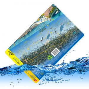
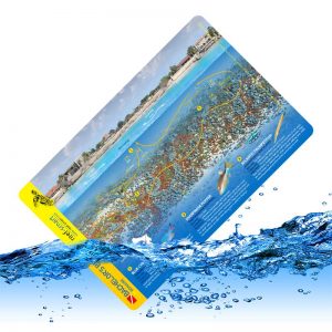
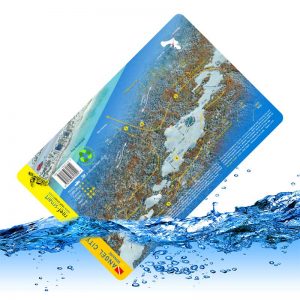
This island card includes the locations of all the major reef and wreck diving sites for the island, along with plenty of other information in an easy-to-reference layout. The card features:
- A map of the island with the location of major roads and cities
- The locations of popular sites for diving, snorkeling, surfing, kiteboarding and windsurfing
- The locations of dive centers, island tour operators and beaches
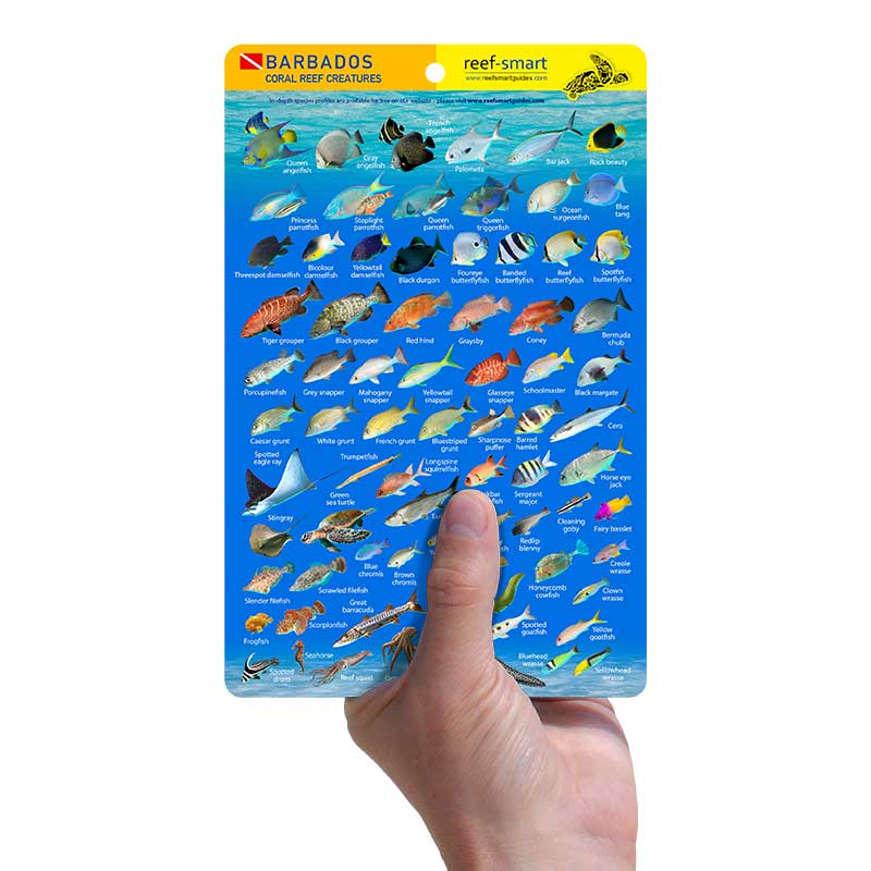
- Images of the most commonly found species in Barbados to help your identification efforts during your in-water experience
Be sure to check out our other dive cards featuring popular wrecks and reefs in Barbados.
Description
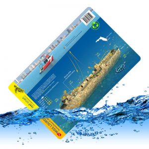
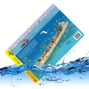
Series Overview: Exploring a new environment is an exhilarating experience. But there’s just so much to see and it can be hard to remember all the key information about a reef or wreck when you finally head into the water. Having that information readily available while in the water can improve safety and vastly improve your experience. Our waterproof cards are printed on plastic or laminated synthetic paper so that you can take them with you while you dive or swim. Each card includes valuable information such as:- A 3D-image fully rendered of the individual reef or wreck that highlights many of the key features at a given site
- A brief description about the history of the wreck or key information about the reef
- The important depth information for that site
- Information about key species found in the region
- A suggested route that is popular with most divers and snorkelers
Related products
Cart
Product Categories
- ON SALE (0)
- Waterproof Cards (204)
- Turks and Caicos (2)
- Alabama (2)
- Reef (58)
- Wreck (137)
- Roatan (6)
- Barbados (11)
- Canada (5)
- British Columbia (5)
- Bonaire (13)
- Curacao (16)
- Grenada (2)
- Cayman Islands (18)
- Creature/species (3)
- Palau (11)
- Virgin Islands (11)
- Truk Lagoon (1)
- Cozumel (4)
- Florida (104)
- Palm Beach (15)
- Northwest Florida (46)
- Florida Keys (21)
- Fort Lauderdale (24)
- North Carolina (4)
- Bundles (0)
- Images for Wall Art (12)
- Apparel (5)
Barbados Guidebook
In-depth analysis and 3D models of 21 dive and snorkel sites, including the famous Carlisle Bay area. Six surf sites and 89 species documented...
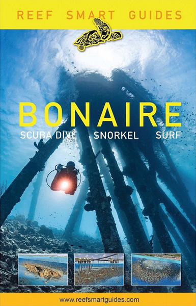
Bonaire Guidebook
In-depth analysis of 72 dive and snorkel sites including 3D models of 27 of the island’s most popular spots such as 1000 Steps, Karpata and Salt Pier...
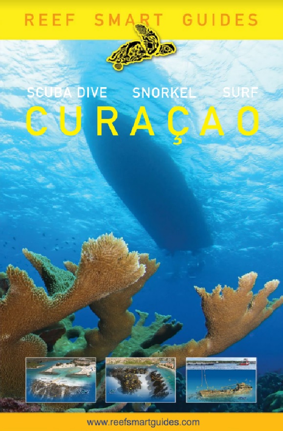
Curaçao Guidebook
Descriptions and detailed maps for 95 unique underwater sites in this spectacular shore-diving hotspot...
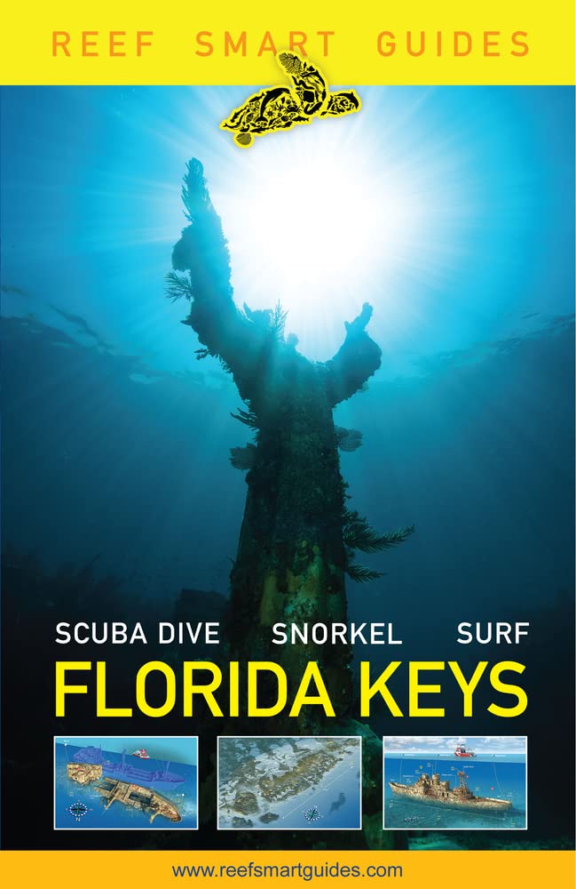
Florida Keys Guidebook
Descriptions and detailed maps for over 100 unique dive and snorkel sites, including iconic sites...
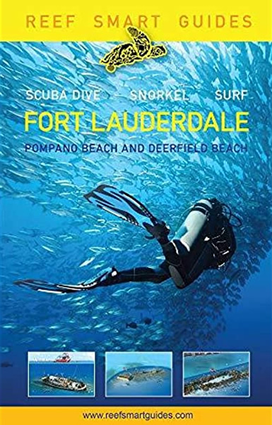
Fort Lauderdale Guidebook
In-depth analysis and 3D models of 27 dive and snorkel sites, including Hog Heaven, Lady Luck, Captain Dan and Hydro Atlantic...
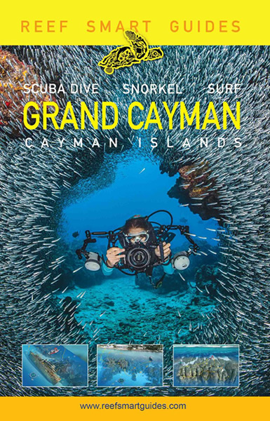
Grand Cayman Guidebook
Descriptions of 245 unique dive and snorkel sites and detailed 3D models of 47 of the island’s most popular sites...
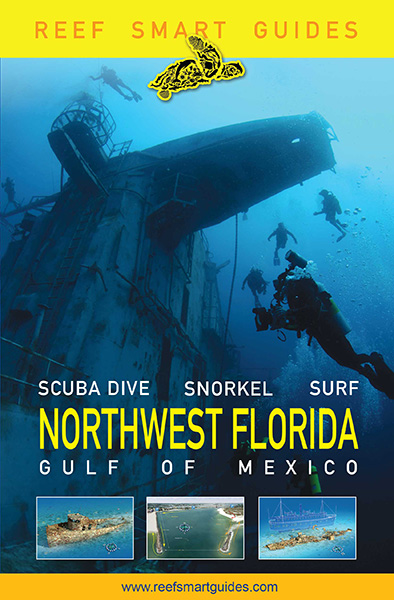
Northwest Florida Guidebook
Descriptions of 137 dive and snorkel sites, including two freshwater springs. 3D models of 48 of the region’s most popular sites...
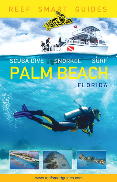
Palm Beach Guidebook
In-depth analysis and 3D models of 40 dive and snorkel sites, including five wreck treks. Modelled sites include the world-famous Blue Heron Bridge...

