Reef Smart team hits the Florida Panhandle
The Reef Smart mapping team is heading to the Northeast Gulf Coast region of Florida to begin work on a new line of reef and wreck 3D maps.

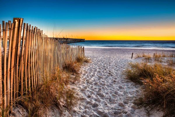
The sun sets over Florida’s stunning Emerald Coast. Rob Haine/Shutterstock ©
The team will begin mapping in Apalachicola and head west along the panhandle, collecting data on the dive and snorkel sites off Panama City, Walton County, Destin, Pensacola and on into Alabama waters. The effort has received support from Okaloosa County and Walton County, among other local businesses and partners. “The Northeast Gulf Coast has become famous for its incredible array of artificial reefs,” says Reef Smart USA manager Peter McDougall. “Major artificial reefs like the Oriskany and Black Bart garner attention the world over, while local governments have done an excellent job developing shore-accessible dive and snorkel sites through a series of reef module deployments.” The team will include important historical wrecks such as SS Tarpon and the Empire Mica in their mapping efforts, to help make sure visitors and locals alike are aware of the incredible history that can be found in these waters. Reef Smart aims to launch an initial line of waterproof cards for Northwest Florida and Alabama in the new year, just in time for the for the start of that region’s 2020 dive season. A full guidebook of the region has been scheduled for release in early 2021.
You must be logged in to post a comment.